


5.3 km | 7.1 km-effort


User


FREE GPS app for hiking
 SityTrail
IGN / Geographical institutes
SityTrail World
The world is yours!
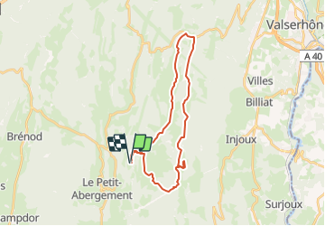
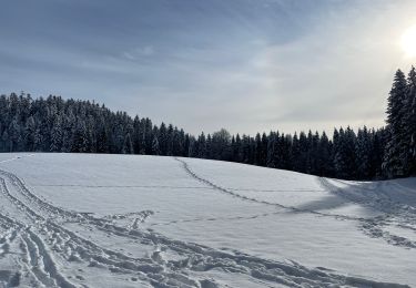
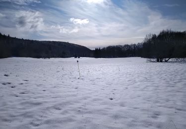
Trail Horseback riding of 27 km to be discovered at Auvergne-Rhône-Alpes, Ain, Haut Valromey. This trail is proposed by oboj.
depuis chalet Jean Mace direction Cuvery . attention le tracé côtoie le chemin afin de rendre visible le tracé des chemins sur la carte
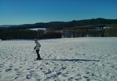
Snowshoes
Mountain bike

Mountain bike
Walking
Walking
Walking

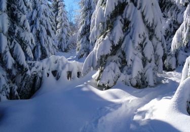
Snowshoes
Walking
Walking